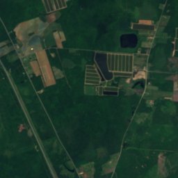
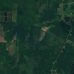
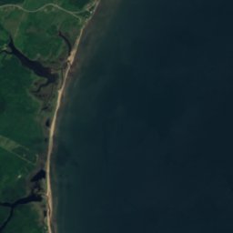






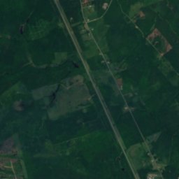
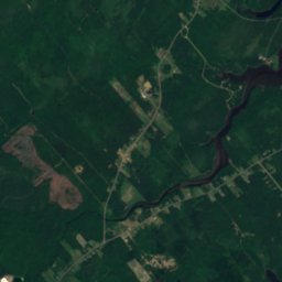
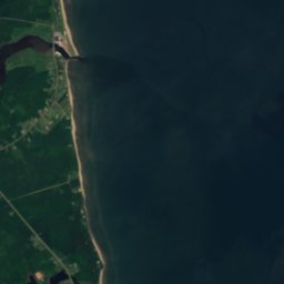






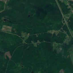
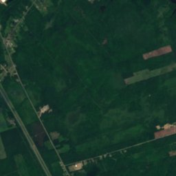
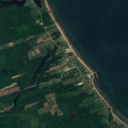





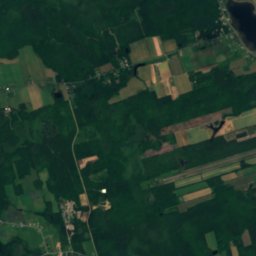
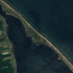




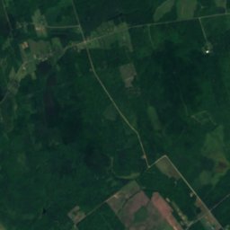
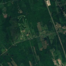
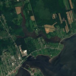
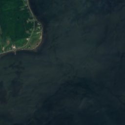
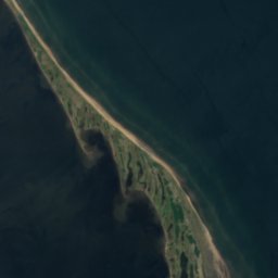




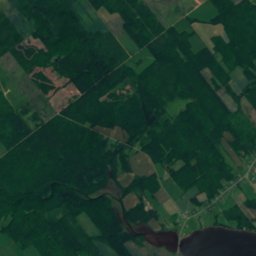
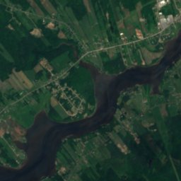
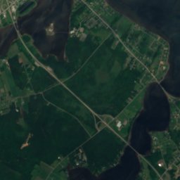
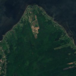
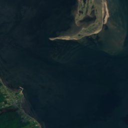




Satelit: Sentinel-2 cloudless 2016 dari EOX IT Services GmbH · CC BY 4.0 · Berisi data Copernicus Sentinel (2016) yang telah dimodifikasi
PulauBouctouche, New Brunswick
North Patch
PulauTerbaik Jul–Sep
Ketinggian–di atas permukaan laut
Luas–luas total
Titik terdekatBouctouche13 km
46,50° LU, 64,58° BBUTC−3 · Waktu Musim Panas Atlantik
Kapan pergiBouctouche · skor cuaca
Waktu terbaikJul–Sep
Oktober: maks. / min.13° / 4°
Pulau
North Patch secara ringkas
North Patch adalah pulau di Kanada (New Brunswick).
Titik terdekat adalah Bouctouche, 13 km ke barat. Cuaca paling nyaman di sana pada bulan Juli, Agustus dan September.
Cuaca di sekitar saat ini
Prakiraan cuaca Bouctouche5°
Sekarang: berawan sebagian
Hari ini
23 Okt
9°
3°
1 mm
Sab
24 Okt
10°
0°
Min
25 Okt
17°
0°
Sen
26 Okt
14°
4°
1 mm
Sel
27 Okt
8°
0°
Run model 12:00 UTCDiperbarui beberapa kali sehari
Kapan pergi
Iklim BouctoucheNorth Patch: waktu terbaik berkunjung
Penilaian bulanan Bouctouche
Kenyamanan, hari kering, dan sinar matahari · dari 10025
Jan
29
Feb
20
Mar
25
Apr
41
Mei
62
Jun
64
Jul
69
Agu
76
Sep
46
Okt
22
Nov
21
Des
Peta
North Patch dari atas
Alam di sekitarSeluruh negeri
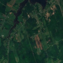
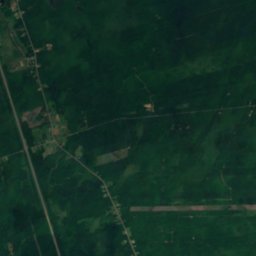
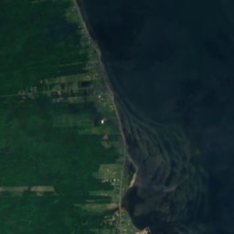


Satelit: Sentinel-2 cloudless 2016 dari EOX IT Services GmbH · CC BY 4.0 · Berisi data Copernicus Sentinel (2016) yang telah dimodifikasi
Satelit: Sentinel-2 cloudless 2016 dari EOX IT Services GmbH · CC BY 4.0 · Berisi data Copernicus Sentinel (2016) yang telah dimodifikasi
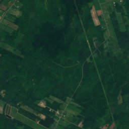
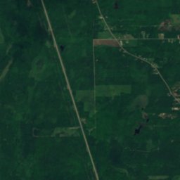
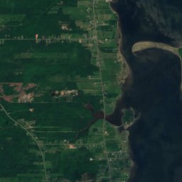
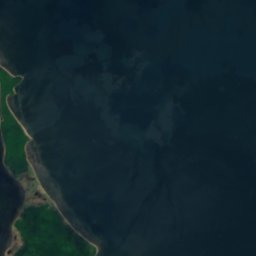

Satelit: Sentinel-2 cloudless 2016 dari EOX IT Services GmbH · CC BY 4.0 · Berisi data Copernicus Sentinel (2016) yang telah dimodifikasi
Satelit: Sentinel-2 cloudless 2016 dari EOX IT Services GmbH · CC BY 4.0 · Berisi data Copernicus Sentinel (2016) yang telah dimodifikasi
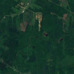
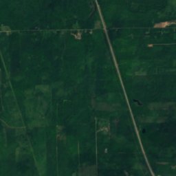
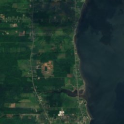
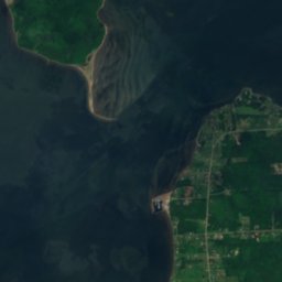
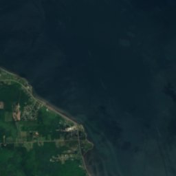
Satelit: Sentinel-2 cloudless 2016 dari EOX IT Services GmbH · CC BY 4.0 · Berisi data Copernicus Sentinel (2016) yang telah dimodifikasi
Satelit: Sentinel-2 cloudless 2016 dari EOX IT Services GmbH · CC BY 4.0 · Berisi data Copernicus Sentinel (2016) yang telah dimodifikasi
Menginap di sekitar
Tempat terdekat

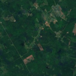
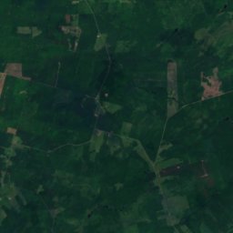
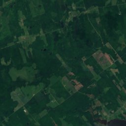
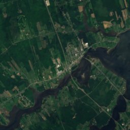
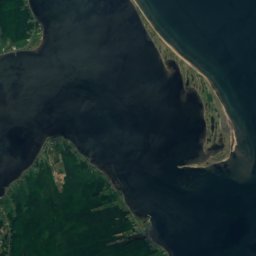
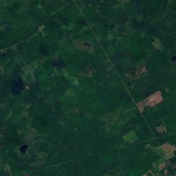
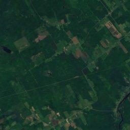
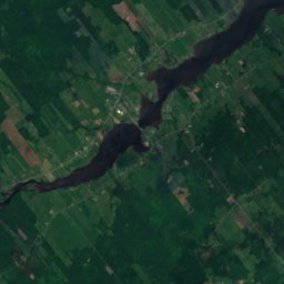
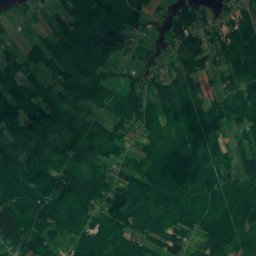
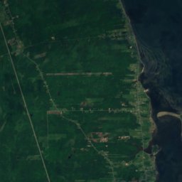
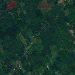
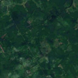
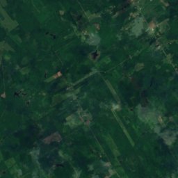
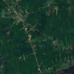
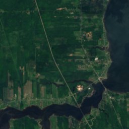
Satelit: Sentinel-2 cloudless 2016 dari EOX IT Services GmbH · CC BY 4.0 · Berisi data Copernicus Sentinel (2016) yang telah dimodifikasi
Saint-Antoine
New Brunswick · 20 km BD
13°maks. Okt
10hari hujan
46skor

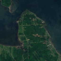

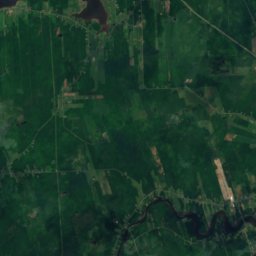
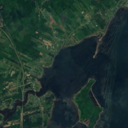

Satelit: Sentinel-2 cloudless 2016 dari EOX IT Services GmbH · CC BY 4.0 · Berisi data Copernicus Sentinel (2016) yang telah dimodifikasi
Grande-Digue
New Brunswick · 22 km S
13°maks. Okt
10hari hujan
46skor
Di sekitar sini
Bouctouche dan sekitarnya

Bouctouche
New Brunswick · Kanada
Jul–Sepbulan-bulan terbaik
24°Suhu tertinggi Juli
27 mketinggian
Alam
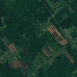
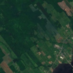
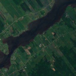
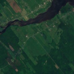
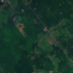
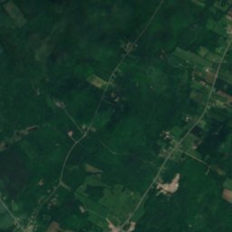
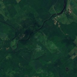
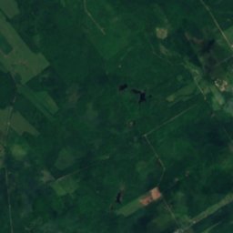
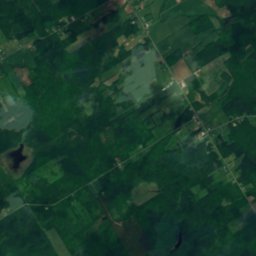
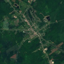
Satelit: Sentinel-2 cloudless 2016 dari EOX IT Services GmbH · CC BY 4.0 · Berisi data Copernicus Sentinel (2016) yang telah dimodifikasi
Breau Brook
Sungai · 42 m
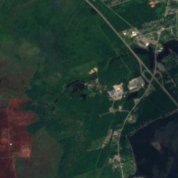
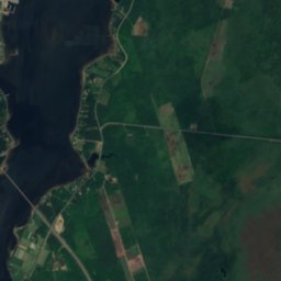
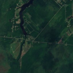
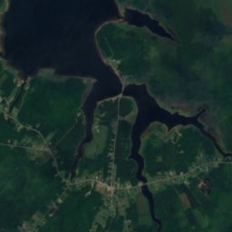
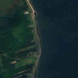
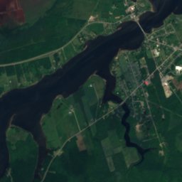
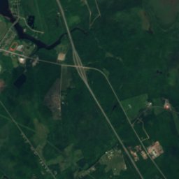
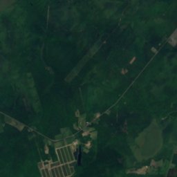
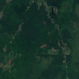
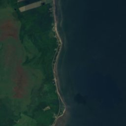
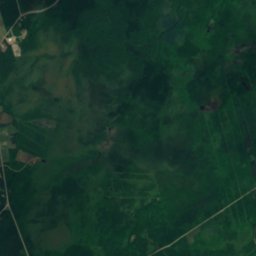
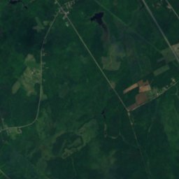
Satelit: Sentinel-2 cloudless 2016 dari EOX IT Services GmbH · CC BY 4.0 · Berisi data Copernicus Sentinel (2016) yang telah dimodifikasi
Lac à Camille, New Brunswick
Danau
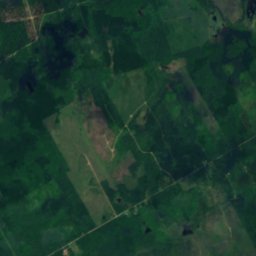
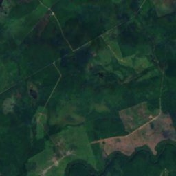
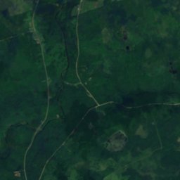
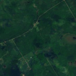
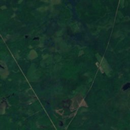
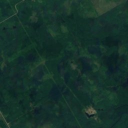
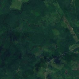
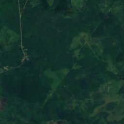
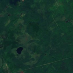
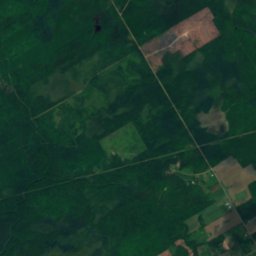
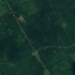
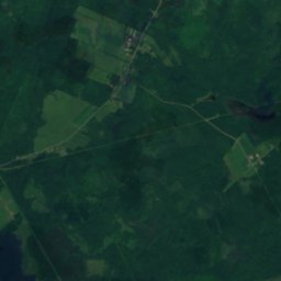
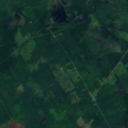
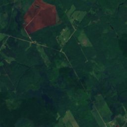
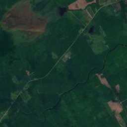
Satelit: Sentinel-2 cloudless 2016 dari EOX IT Services GmbH · CC BY 4.0 · Berisi data Copernicus Sentinel (2016) yang telah dimodifikasi
Lac de Bon-Secours
Danau
Museum




Satelit: Sentinel-2 cloudless 2016 dari EOX IT Services GmbH · CC BY 4.0 · Berisi data Copernicus Sentinel (2016) yang telah dimodifikasi