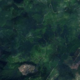
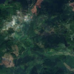
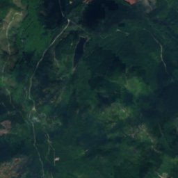
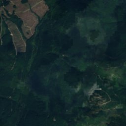
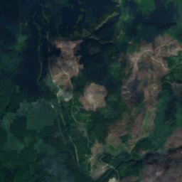
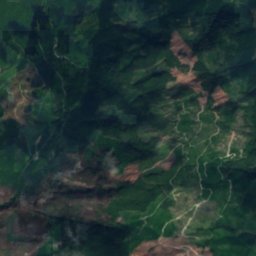
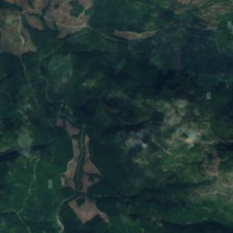
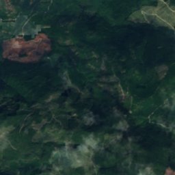
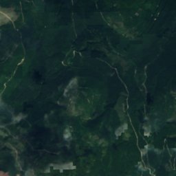
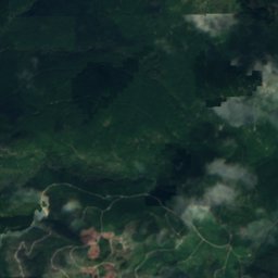
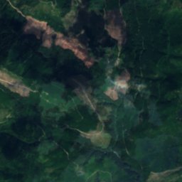
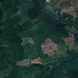
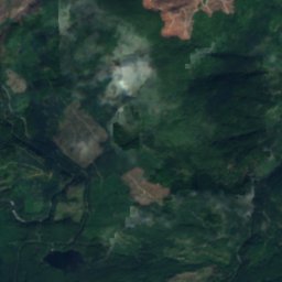
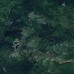
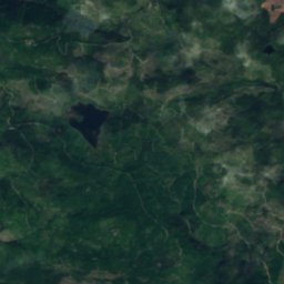
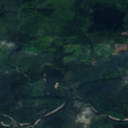
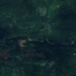
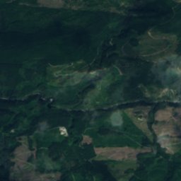
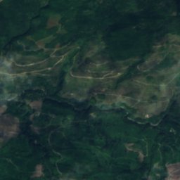
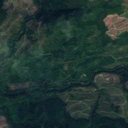
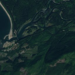
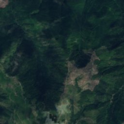
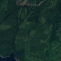
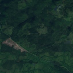
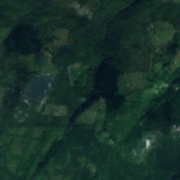
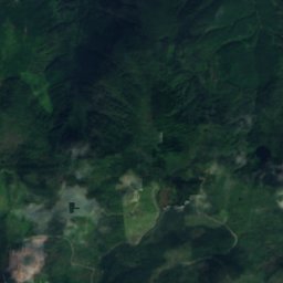
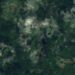
Satellite : Sentinel-2 cloudless 2016 par EOX IT Services GmbH · CC BY 4.0 · Contient des données Copernicus Sentinel modifiées (2016)
LacPort Renfrew, British Columbia
Pixie Lake
LacIdéal : juil.–sept.
Altitude–au-dessus de la mer
Superficie–surface totale
Localité la plus prochePort Renfrew17 km
48,60° N, 124,20° OUTC−7 · heure d’été du Pacifique nord-américain
Quand partirPort Renfrew · indice météo
Meilleure périodejuil.–sept.
octobre : max. / min.14° / 7°
Lac
Pixie Lake en bref
Pixie Lake est un lac situé au Canada (British Columbia), près de Port Renfrew.
La localité la plus proche est Port Renfrew, à 17 km à l'ouest ; c'est en juillet, août et septembre que le temps y est le plus agréable.
Météo à proximité
Prévisions pour Port Renfrew10°
Nuageux en ce moment
Aujourd'hui
26 oct.
13°
7°
2 mm
mar.
27 oct.
12°
5°
1 mm
mer.
28 oct.
11°
4°
5 mm
jeu.
29 oct.
10°
3°
5 mm
ven.
30 oct.
10°
2°
1 mm
Run du modèle 12:00 UTCMises à jour plusieurs fois par jour
Quand partir
Climat de Port RenfrewLes meilleurs mois autour de Pixie Lake
Note mensuelle à Port Renfrew
Confort, jours secs et soleil · sur 10014
janv.
16
févr.
19
mars
34
avr.
51
mai
60
juin
76
juil.
71
août
69
sept.
40
oct.
14
nov.
15
déc.
Carte
Pixie Lake vu du ciel
Nature à proximitéTout le pays
Satellite : Sentinel-2 cloudless 2016 par EOX IT Services GmbH · CC BY 4.0 · Contient des données Copernicus Sentinel modifiées (2016)
Satellite : Sentinel-2 cloudless 2016 par EOX IT Services GmbH · CC BY 4.0 · Contient des données Copernicus Sentinel modifiées (2016)
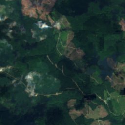
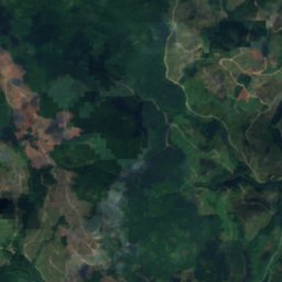
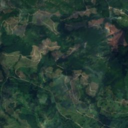
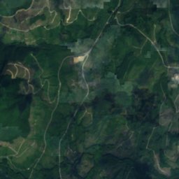
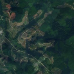
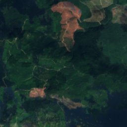
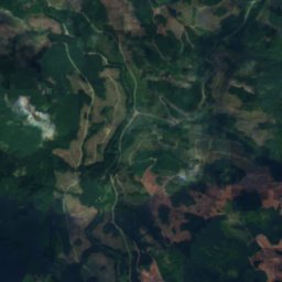
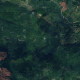
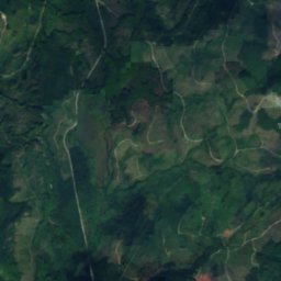
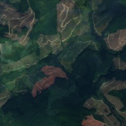
Satellite : Sentinel-2 cloudless 2016 par EOX IT Services GmbH · CC BY 4.0 · Contient des données Copernicus Sentinel modifiées (2016)
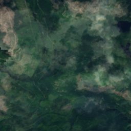
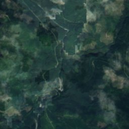
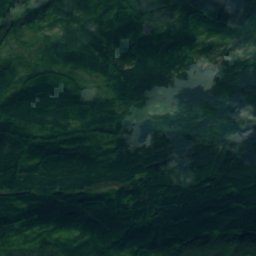
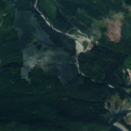
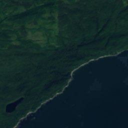
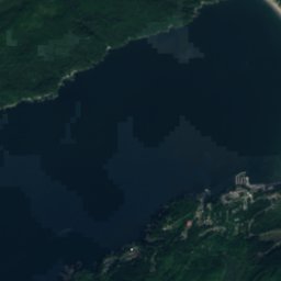
Satellite : Sentinel-2 cloudless 2016 par EOX IT Services GmbH · CC BY 4.0 · Contient des données Copernicus Sentinel modifiées (2016)
Satellite : Sentinel-2 cloudless 2016 par EOX IT Services GmbH · CC BY 4.0 · Contient des données Copernicus Sentinel modifiées (2016)
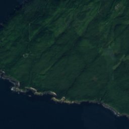




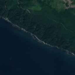
Satellite : Sentinel-2 cloudless 2016 par EOX IT Services GmbH · CC BY 4.0 · Contient des données Copernicus Sentinel modifiées (2016)
Sommets à proximitéMontagnes du Canada
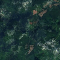
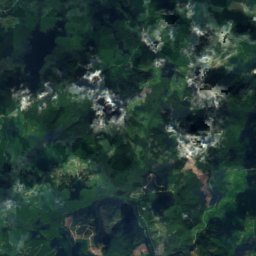
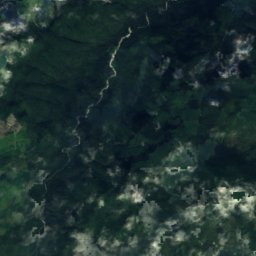
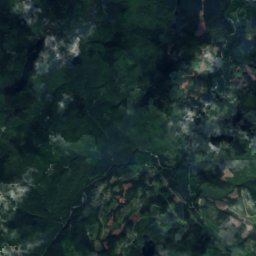
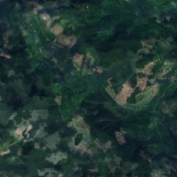
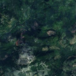
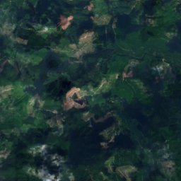
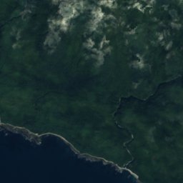
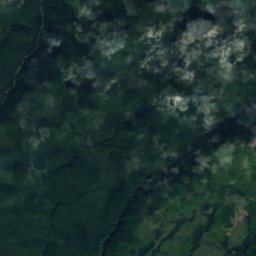
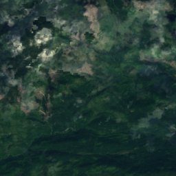
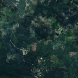
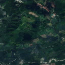
Satellite : Sentinel-2 cloudless 2016 par EOX IT Services GmbH · CC BY 4.0 · Contient des données Copernicus Sentinel modifiées (2016)
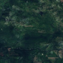
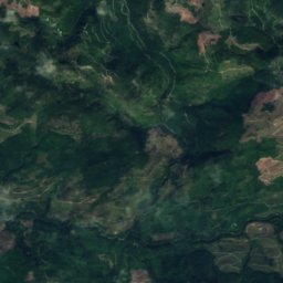
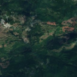
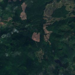
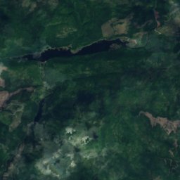
Satellite : Sentinel-2 cloudless 2016 par EOX IT Services GmbH · CC BY 4.0 · Contient des données Copernicus Sentinel modifiées (2016)
Où dormir
Localités toutes proches
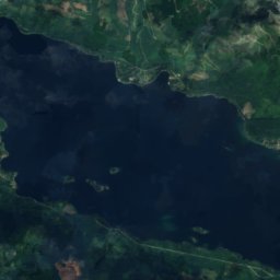
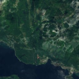
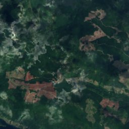
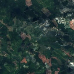
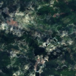
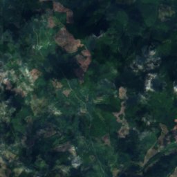
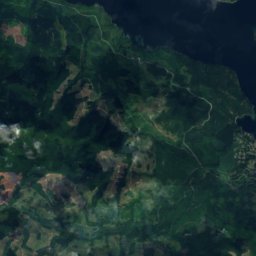
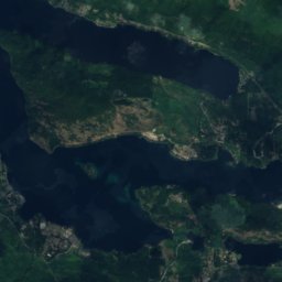
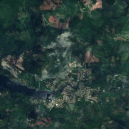
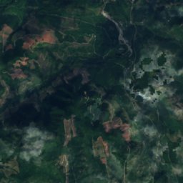
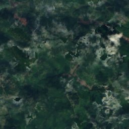
Satellite : Sentinel-2 cloudless 2016 par EOX IT Services GmbH · CC BY 4.0 · Contient des données Copernicus Sentinel modifiées (2016)
Honeymoon Bay
British Columbia · 25 km N
15°max. en oct.
17jours de pluie
46note
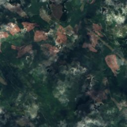
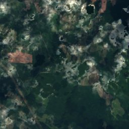
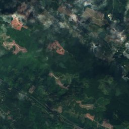
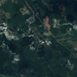
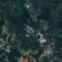
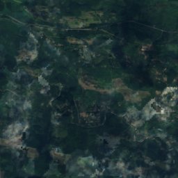

Satellite : Sentinel-2 cloudless 2016 par EOX IT Services GmbH · CC BY 4.0 · Contient des données Copernicus Sentinel modifiées (2016)
Lake Cowichan
British Columbia · 28 km N
15°max. en oct.
17jours de pluie
45note

Photo : Andybremner2012 · CC BY-SA 4.0 · Wikimedia CommonsSignaler cette photo · affichée par lien, non copiée

Youbou
British Columbia · 30 km N
15°max. en oct.
17jours de pluie
46note
Aux alentours
Port Renfrew et ses environs

Port Renfrew
British Columbia · Canada
juil.–sept.meilleurs mois
20°max. en juillet
16 maltitude
Nature

Photo : Sergey Pesterev · CC BY-SA 2.0 · Wikimedia CommonsSignaler cette photo · affichée par lien, non copiée

Rivière San Juan
Cours d'eau · 701 m
Satellite : Sentinel-2 cloudless 2016 par EOX IT Services GmbH · CC BY 4.0 · Contient des données Copernicus Sentinel modifiées (2016)
Rivière Sombrio
Cours d'eau
Satellite : Sentinel-2 cloudless 2016 par EOX IT Services GmbH · CC BY 4.0 · Contient des données Copernicus Sentinel modifiées (2016)
Lac Fairy, British Columbia
Lac · 3 m
Montagnes
Satellite : Sentinel-2 cloudless 2016 par EOX IT Services GmbH · CC BY 4.0 · Contient des données Copernicus Sentinel modifiées (2016)
Edinburgh Mountain
1 058 m
Satellite : Sentinel-2 cloudless 2016 par EOX IT Services GmbH · CC BY 4.0 · Contient des données Copernicus Sentinel modifiées (2016)
Valentine Mountain
713 m