

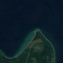




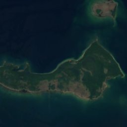
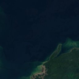
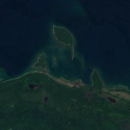
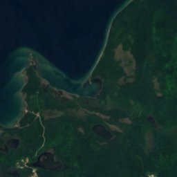
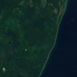

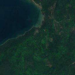
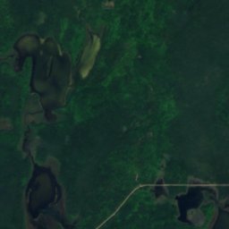
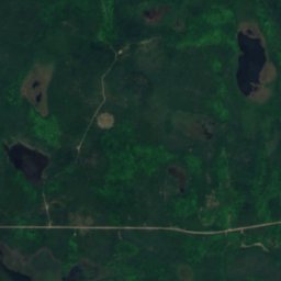
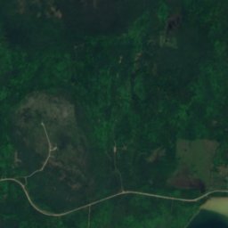
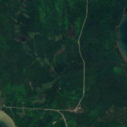
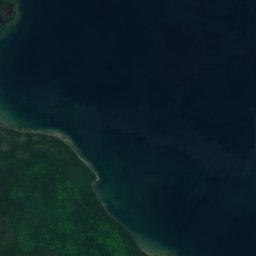
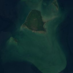
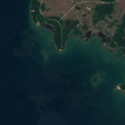
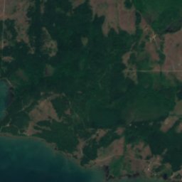

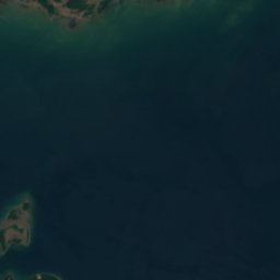
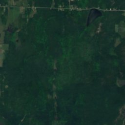
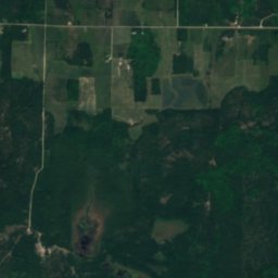
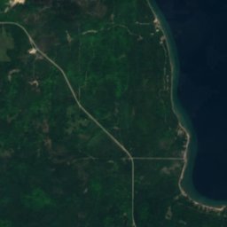
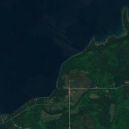
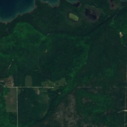
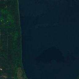
Satellite : Sentinel-2 cloudless 2016 par EOX IT Services GmbH · CC BY 4.0 · Contient des données Copernicus Sentinel modifiées (2016)
ÎleGore Bay, Ontario
Henry Patch
ÎleIdéal : juil.–sept.
Altitude–au-dessus de la mer
Superficie–surface totale
Localité la plus procheGore Bay26 km
45,90° N, 82,80° OUTC−4 · heure d’été de l’Est nord-américain
Quand partirGore Bay · indice météo
Meilleure périodejuil.–sept.
octobre : max. / min.12° / 4°
Île
Henry Patch en bref
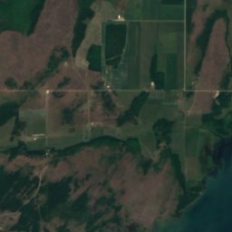
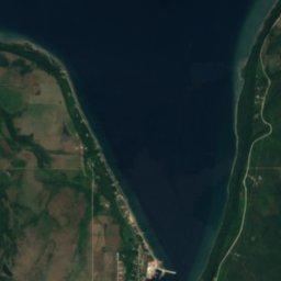
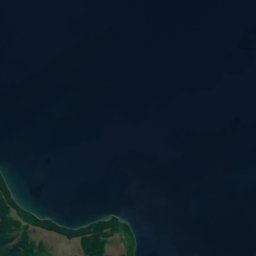
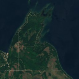
Henry Patch est une île située au Canada (Ontario), près de Gore Bay.
La localité la plus proche est Gore Bay, à 26 km à l'est ; c'est en juillet, août et septembre que le temps y est le plus agréable.
Météo à proximité
Prévisions pour Gore Bay5°
Nuageux en ce moment
Aujourd'hui
26 oct.
10°
3°
mar.
27 oct.
8°
1°
mer.
28 oct.
13°
5°
jeu.
29 oct.
14°
6°
4 mm
ven.
30 oct.
11°
5°
Run du modèle 12:00 UTCMises à jour plusieurs fois par jour
Quand partir
Climat de Gore BayLes meilleurs mois autour de Henry Patch
Note mensuelle à Gore Bay
Confort, jours secs et soleil · sur 10030
janv.
32
févr.
32
mars
26
avr.
30
mai
68
juin
70
juil.
72
août
75
sept.
37
oct.
19
nov.
17
déc.
Carte
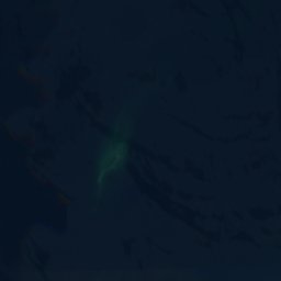
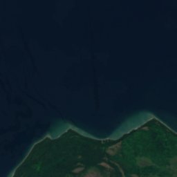
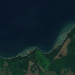
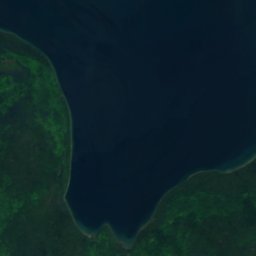
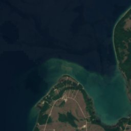
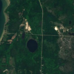
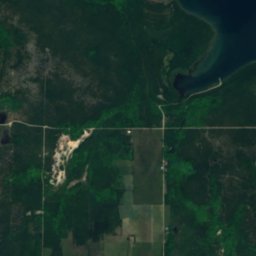
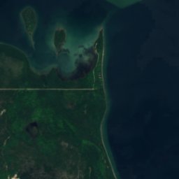
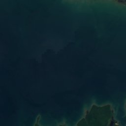
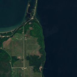
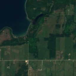
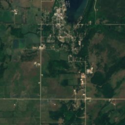
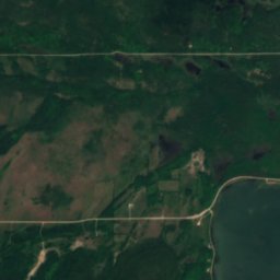
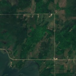
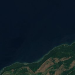
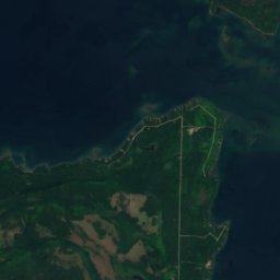
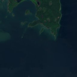
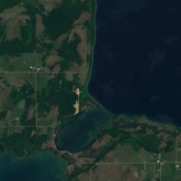
Henry Patch vu du ciel
Nature à proximitéTout le pays
Satellite : Sentinel-2 cloudless 2016 par EOX IT Services GmbH · CC BY 4.0 · Contient des données Copernicus Sentinel modifiées (2016)
Satellite : Sentinel-2 cloudless 2016 par EOX IT Services GmbH · CC BY 4.0 · Contient des données Copernicus Sentinel modifiées (2016)
Satellite : Sentinel-2 cloudless 2016 par EOX IT Services GmbH · CC BY 4.0 · Contient des données Copernicus Sentinel modifiées (2016)
Satellite : Sentinel-2 cloudless 2016 par EOX IT Services GmbH · CC BY 4.0 · Contient des données Copernicus Sentinel modifiées (2016)
Satellite : Sentinel-2 cloudless 2016 par EOX IT Services GmbH · CC BY 4.0 · Contient des données Copernicus Sentinel modifiées (2016)
Satellite : Sentinel-2 cloudless 2016 par EOX IT Services GmbH · CC BY 4.0 · Contient des données Copernicus Sentinel modifiées (2016)
Où dormir
Localités toutes proches


Aux alentours
Gore Bay et ses environs
Nature
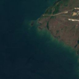
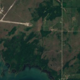
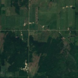
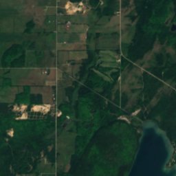
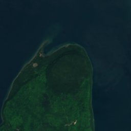
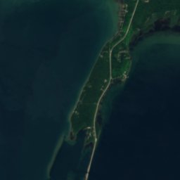
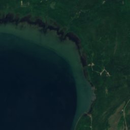
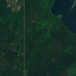
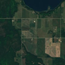
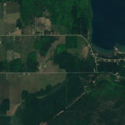
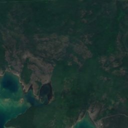
Satellite : Sentinel-2 cloudless 2016 par EOX IT Services GmbH · CC BY 4.0 · Contient des données Copernicus Sentinel modifiées (2016)
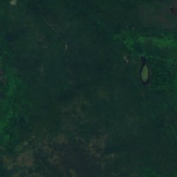
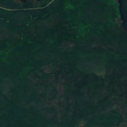
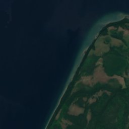
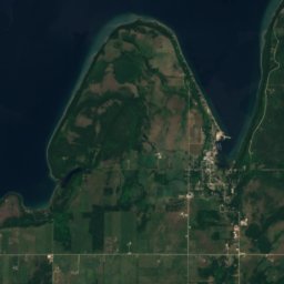
Lake Wolsey
Lac · 175 m
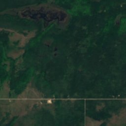
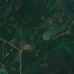
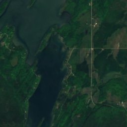
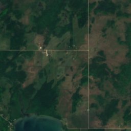
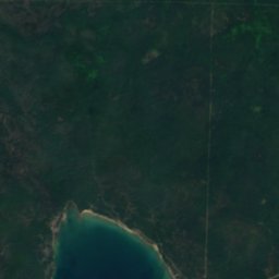
Satellite : Sentinel-2 cloudless 2016 par EOX IT Services GmbH · CC BY 4.0 · Contient des données Copernicus Sentinel modifiées (2016)
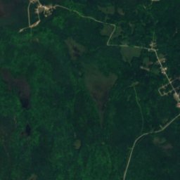
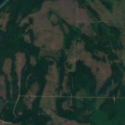
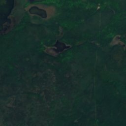
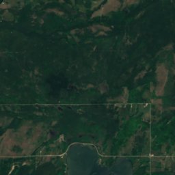
Ice Lake, Gore Bay
Lac · 222 m
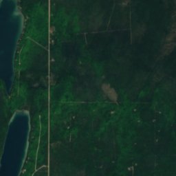
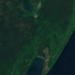
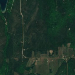
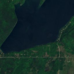
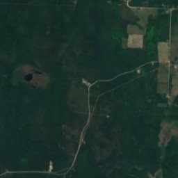
Satellite : Sentinel-2 cloudless 2016 par EOX IT Services GmbH · CC BY 4.0 · Contient des données Copernicus Sentinel modifiées (2016)
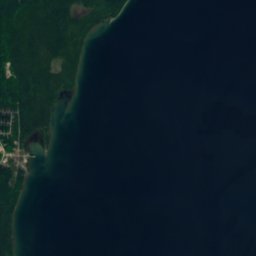
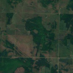
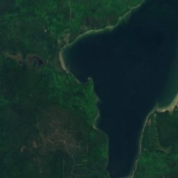
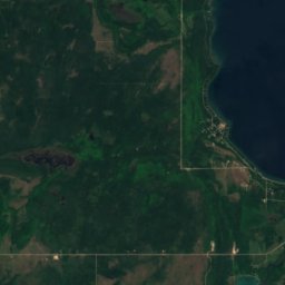
Nameless Lake, Gore Bay
Lac · 217 m
Montagnes




Satellite : Sentinel-2 cloudless 2016 par EOX IT Services GmbH · CC BY 4.0 · Contient des données Copernicus Sentinel modifiées (2016)
Maple Bluff
222 m