
Photo : KALIMNIK · CC BY-SA 4.0 · Wikimedia Commons
ProernaSignaler cette photo · affichée par lien, non copiée
ProernaSignaler cette photo · affichée par lien, non copiée
PolisNeo Monastiri, Grèce-Centrale
Proerna
Site archéologique de Grèce
TypePolis
Construction–
Meilleurs moisavr.–mai · oct.météo : Neo Monastiri
39,24° N, 22,28° EUTC+3 · heure d’été d’Europe de l’Est
Quand partirNeo Monastiri · indice météo
Meilleure périodeavr.–mai · oct.
octobre : max. / min.23° / 11°
iÀ propos
Proerna en bref
Proerna – Polis (Neo Monastiri, Grèce-Centrale, Grèce).
Protection : Site archéologique de Grèce.
Pour une visite, le temps est le plus agréable à Neo Monastiri en avril, mai et octobre ; en octobre, les après-midi atteignent en moyenne 23°.
Fiche
- Type
- Polis
- Protection
- Site archéologique de Grèce
- Localité la plus proche
- Neo Monastiri
- Région
- Grèce-Centrale
- Coordonnées
- 39,24300° N, 22,27900° E
iiSituation
Où le trouver
iiiQuand visiter
Guide climatiqueMétéo à Neo Monastiri
Note mensuelle pour les visites
Idéal : avr.–mai · oct.33
janv.
45
févr.
63
mars
85
avr.
80
mai
61
juin
57
juil.
59
août
71
sept.
83
oct.
65
nov.
33
déc.
Aux alentours
Neo Monastiri et ses environs

Photo : KALIMNIK · CC BY-SA 4.0 · Wikimedia CommonsSignaler cette photo · affichée par lien, non copiée
Neo Monastiri
Grèce-Centrale · Grèce
avr.–mai · oct.meilleurs mois
33°max. en juillet
117 maltitude
Nature
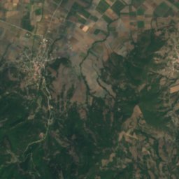
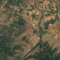
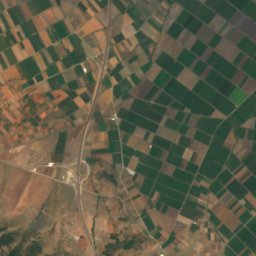
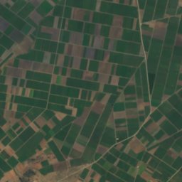
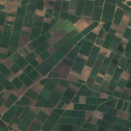
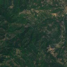
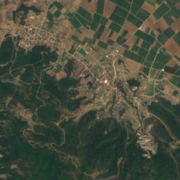
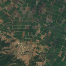
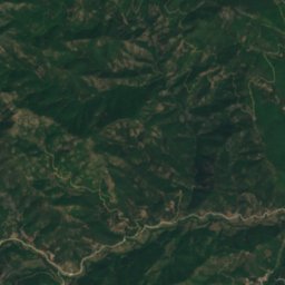
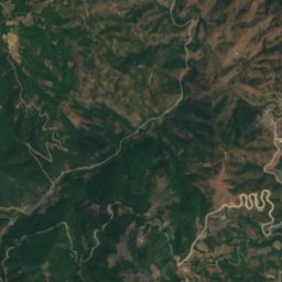
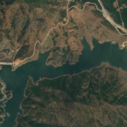
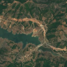
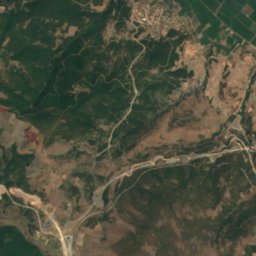
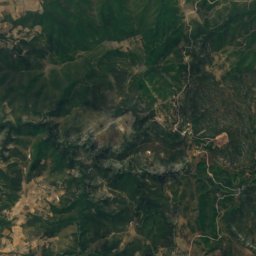
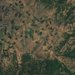
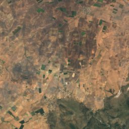
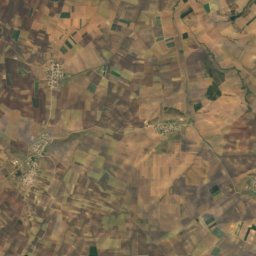
Satellite : Sentinel-2 cloudless 2016 par EOX IT Services GmbH · CC BY 4.0 · Contient des données Copernicus Sentinel modifiées (2016)
Lake Smokovo
Lac · 337 m
Montagnes
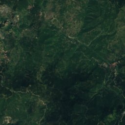
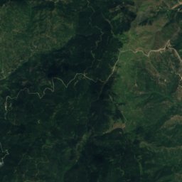
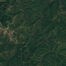
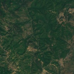
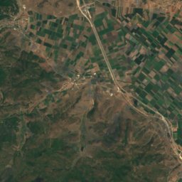
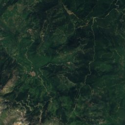
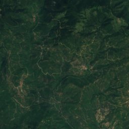
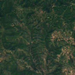
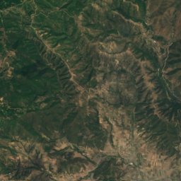
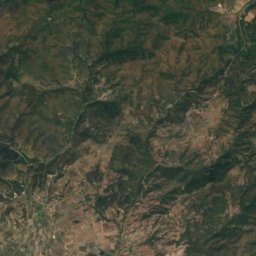
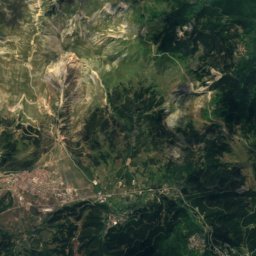
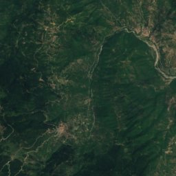
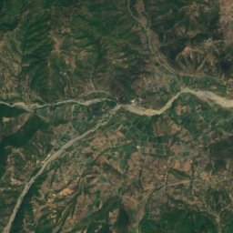
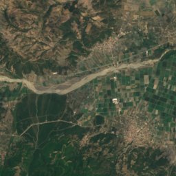
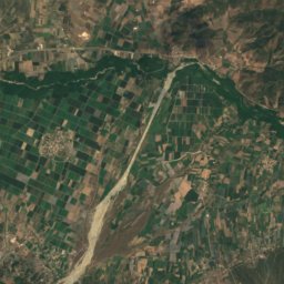
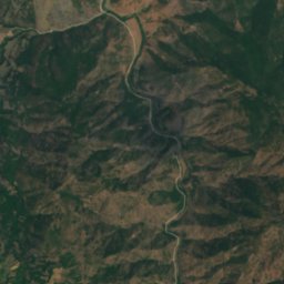
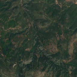
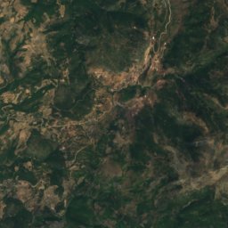
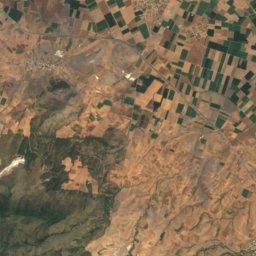
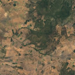
Satellite : Sentinel-2 cloudless 2016 par EOX IT Services GmbH · CC BY 4.0 · Contient des données Copernicus Sentinel modifiées (2016)
Karaoulia
858 m
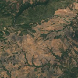
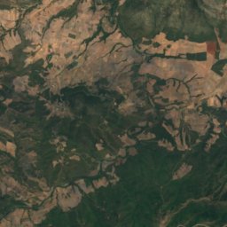
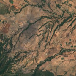
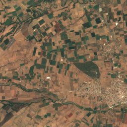
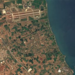
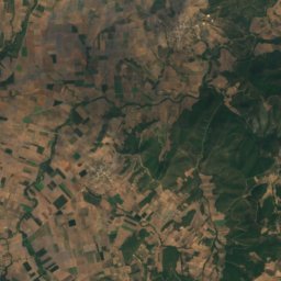
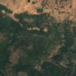
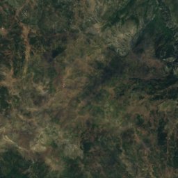
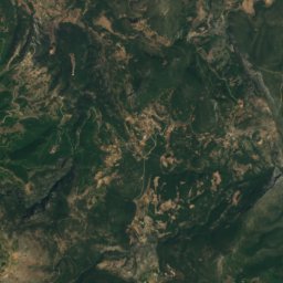
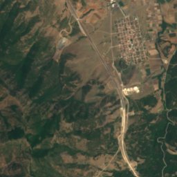
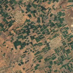
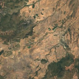
Satellite : Sentinel-2 cloudless 2016 par EOX IT Services GmbH · CC BY 4.0 · Contient des données Copernicus Sentinel modifiées (2016)
Kótsalos
779 m
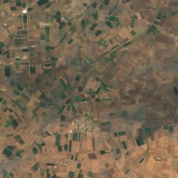
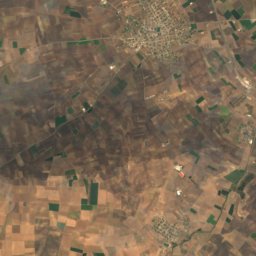
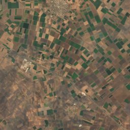
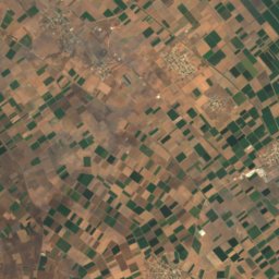
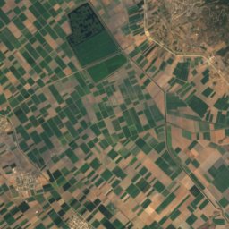
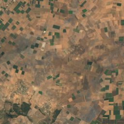
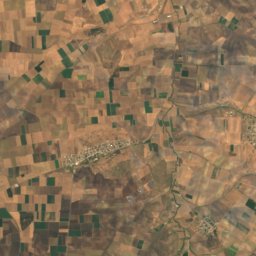
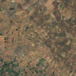
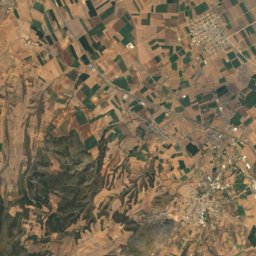

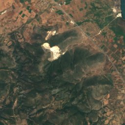
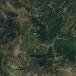
Satellite : Sentinel-2 cloudless 2016 par EOX IT Services GmbH · CC BY 4.0 · Contient des données Copernicus Sentinel modifiées (2016)
Mavrovouni (Agnanteris-Larisas)
725 m
Patrimoine

Photo : Teacher146 · CC BY-SA 4.0 · Wikimedia CommonsSignaler cette photo · affichée par lien, non copiée

Church of Panagia Demerliotissa, Stavros
Bâtiment protégé en Grèce · 1778