
Photo : Hans-Jürgen Hübner · CC BY-SA 3.0 · Wikimedia Commons
GitanyowSignaler cette photo · affichée par lien, non copiée
GitanyowSignaler cette photo · affichée par lien, non copiée
Réserve indienne au CanadaGitanyow, British Columbia
Gitanyow
Lieu historique national du Canada
TypeRéserve indienne au Canada
Construction–
Meilleurs moisjuin–aoûtmétéo : Gitanyow
55,27° N, 128,07° OUTC−7 · heure d’été du Pacifique nord-américain
Quand partirGitanyow · indice météo
Meilleure périodejuin–août
octobre : max. / min.8° / 2°
iÀ propos
Gitanyow en bref
Gitanyow – Réserve indienne au Canada (Gitanyow, British Columbia, Canada).
Protection : Lieu historique national du Canada.
Pour une visite, le temps est le plus agréable à Gitanyow en juin, juillet et août ; en octobre, les après-midi atteignent en moyenne 8°.
Fiche
- Type
- Réserve indienne au Canada
- Protection
- Lieu historique national du Canada
- Localité la plus proche
- Gitanyow
- Région
- British Columbia
- Coordonnées
- 55,26670° N, 128,06700° O
iiSituation
Où le trouver
iiiQuand visiter
Guide climatiqueMétéo à Gitanyow
Note mensuelle pour les visites
Idéal : juin–août16
janv.
18
févr.
19
mars
19
avr.
42
mai
62
juin
64
juil.
64
août
52
sept.
17
oct.
15
nov.
16
déc.
Aux alentours
Gitanyow et ses environs

Photo : Hans-Jürgen Hübner · CC BY-SA 3.0 · Wikimedia CommonsSignaler cette photo · affichée par lien, non copiée
Gitanyow
British Columbia · Canada
juin–aoûtmeilleurs mois
22°max. en juillet
336 maltitude
Nature
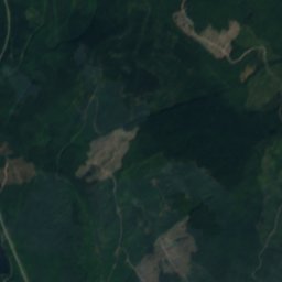
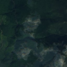
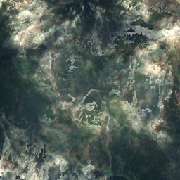
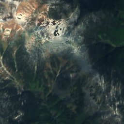
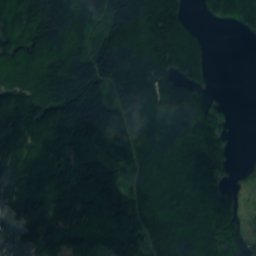
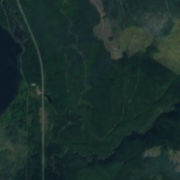
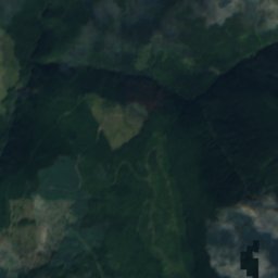
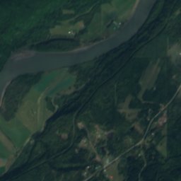
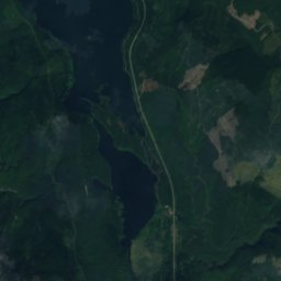
Satellite : Sentinel-2 cloudless 2016 par EOX IT Services GmbH · CC BY 4.0 · Contient des données Copernicus Sentinel modifiées (2016)
Kitwancool Lake
Lac · 376 m
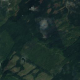
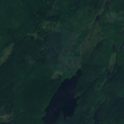
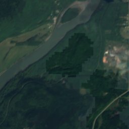
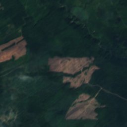
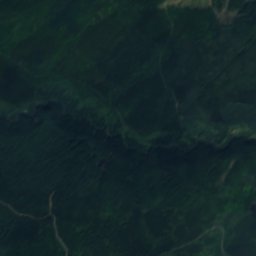
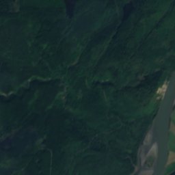
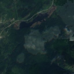
Satellite : Sentinel-2 cloudless 2016 par EOX IT Services GmbH · CC BY 4.0 · Contient des données Copernicus Sentinel modifiées (2016)
Keynton Lake
Lac · 379 m
Montagnes
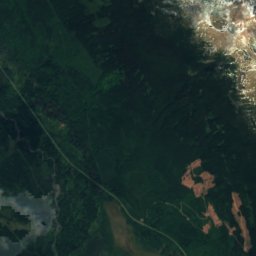
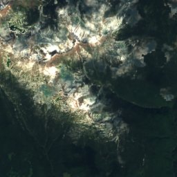
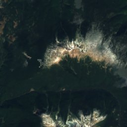
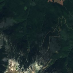
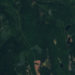
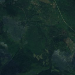
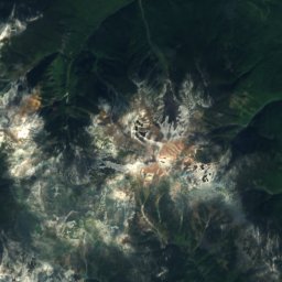
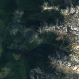
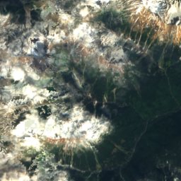
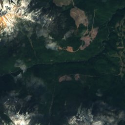

Satellite : Sentinel-2 cloudless 2016 par EOX IT Services GmbH · CC BY 4.0 · Contient des données Copernicus Sentinel modifiées (2016)
Kispiox Mountain
2 096 m