
Photo : Andreas Wendt · CC BY-SA 3.0 · Wikimedia Commons
Grumsiner Forst/RedernswaldeSignaler cette photo · affichée par lien, non copiée
Grumsiner Forst/RedernswaldeSignaler cette photo · affichée par lien, non copiée

Photo : Ralf Roletschek (talk) - Fahrradtechnik auf fahrradmonteur.de · FAL · Wikimedia Commons
Dorfkirche GlambeckSignaler cette photo · affichée par lien, non copiée
Dorfkirche GlambeckDorfkirche GlambeckSignaler cette photo · affichée par lien, non copiée

Photo : Assenmacher · CC BY-SA 4.0 · Wikimedia Commons
Dorfkirche AltkünkendorfSignaler cette photo · affichée par lien, non copiée
Dorfkirche AltkünkendorfDorfkirche AltkünkendorfSignaler cette photo · affichée par lien, non copiée

Photo : Hans G. Oberlack · CC BY-SA 4.0 · Wikimedia Commons
Dorfkirche AlthüttendorfSignaler cette photo · affichée par lien, non copiée
Dorfkirche AlthüttendorfDorfkirche AlthüttendorfSignaler cette photo · affichée par lien, non copiée
NaturschutzgebietAlthüttendorf, Brandebourg
Grumsiner Forst/Redernswalde
Partie d'un site du patrimoine mondialConstruit en 1990
TypeNaturschutzgebiet
Construction1990
Meilleurs moismai–juin · sept.météo : Althüttendorf
53,00° N, 13,83° EUTC+2 · heure d’été d’Europe centrale
Debout depuis36 ans
construit 1990aujourd'hui 2026
Quand partirAlthüttendorf · indice météo
Meilleure périodemai–juin · sept.
octobre : max. / min.13° / 6°
iÀ propos
Grumsiner Forst/Redernswalde en bref
Grumsiner Forst/Redernswalde – Naturschutzgebiet (Althüttendorf, Brandebourg, Allemagne).
Protection : Partie d'un site du patrimoine mondial.
Date : 1990.
Pour une visite, le temps est le plus agréable à Althüttendorf en mai, juin et septembre ; en octobre, les après-midi atteignent en moyenne 13°.
Fiche
- Type
- Naturschutzgebiet
- Protection
- Partie d'un site du patrimoine mondial
- Construction
- 1990
- Localité la plus proche
- Althüttendorf
- Région
- Brandebourg
- Coordonnées
- 53,00000° N, 13,83330° E
iiSituation
Où le trouver
iiiQuand visiter
Guide climatiqueMétéo à Althüttendorf
Note mensuelle pour les visites
Idéal : mai–juin · sept.18
janv.
27
févr.
27
mars
60
avr.
72
mai
69
juin
65
juil.
69
août
74
sept.
44
oct.
23
nov.
17
déc.
ivÀ proximité
Tous les monuments d'AllemagneD'autres monuments tout près
Photo : Ralf Roletschek (talk) - Fahrradtechnik auf fahrradmonteur.de · FAL · Wikimedia CommonsSignaler cette photo · affichée par lien, non copiée
Dorfkirche Glambeck
2,5 km N
Monument architectural du Brandebourg
Photo : Assenmacher · CC BY-SA 4.0 · Wikimedia CommonsSignaler cette photo · affichée par lien, non copiée
Dorfkirche Altkünkendorf
3,0 km E
Monument architectural du Brandebourg
Photo : Hans G. Oberlack · CC BY-SA 4.0 · Wikimedia CommonsSignaler cette photo · affichée par lien, non copiée
Dorfkirche Althüttendorf
4,5 km SO
Monument du patrimoine architectural
Aux alentours
Althüttendorf et ses environs

Photo : Kresspahl · Public domain · Wikimedia CommonsSignaler cette photo · affichée par lien, non copiée
Althüttendorf
Brandebourg · Allemagne
mai–juin · sept.meilleurs mois
25°max. en juillet
75 maltitude
Nature

Photo : Uwe Gille · CC BY-SA 3.0 · Wikimedia CommonsSignaler cette photo · affichée par lien, non copiée
Welse, Brandebourg
Cours d'eau

Photo : Original uploader was Ralf Roletschek at de.wikipedia · CC BY-SA 3.0 · Wikimedia CommonsSignaler cette photo · affichée par lien, non copiée
Ragöse
Cours d'eau
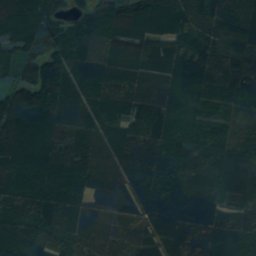
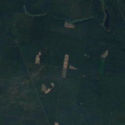
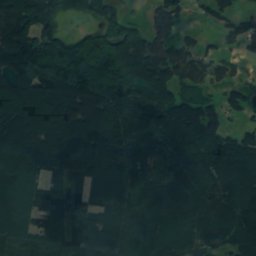
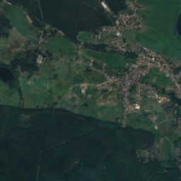
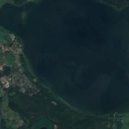
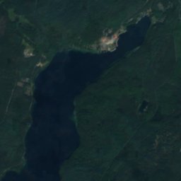
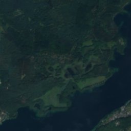
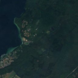
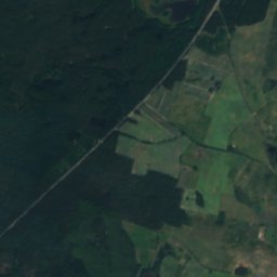
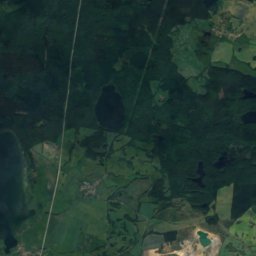
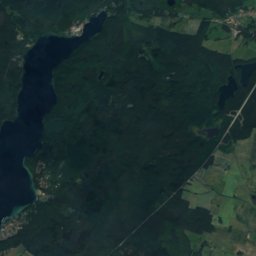
Satellite : Sentinel-2 cloudless 2016 par EOX IT Services GmbH · CC BY 4.0 · Contient des données Copernicus Sentinel modifiées (2016)
Werbellinsee, Joachimsthal
Lac · 43 m
Montagnes

Photo : Assenmacher · CC BY-SA 4.0 · Wikimedia CommonsSignaler cette photo · affichée par lien, non copiée
Watzmann
106 m
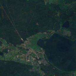
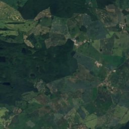
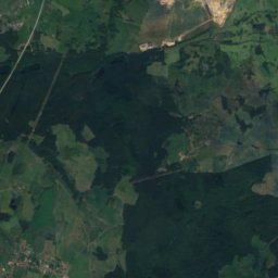
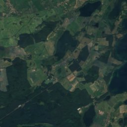
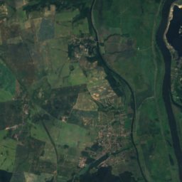
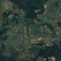
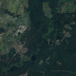
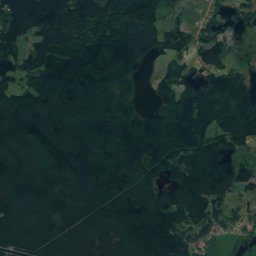
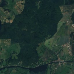
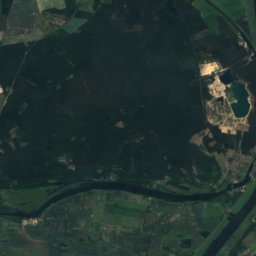
Satellite : Sentinel-2 cloudless 2016 par EOX IT Services GmbH · CC BY 4.0 · Contient des données Copernicus Sentinel modifiées (2016)
Kleiner Rummelsberg
81 m
Patrimoine
Photo : Hans G. Oberlack · CC BY-SA 4.0 · Wikimedia CommonsSignaler cette photo · affichée par lien, non copiée
Dorfkirche Althüttendorf
Monument du patrimoine architectural
Photo : Assenmacher · CC BY-SA 4.0 · Wikimedia CommonsSignaler cette photo · affichée par lien, non copiée
Dorfkirche Altkünkendorf
Monument architectural du Brandebourg · 1300

Photo : Sinuhe20 · CC BY-SA 3.0 de · Wikimedia CommonsSignaler cette photo · affichée par lien, non copiée
St. Peter und Paul, Eberswalde
Monument architectural du Brandebourg · 1870
Musées

Photo : Kds11 · CC BY-SA 3.0 · Wikimedia CommonsSignaler cette photo · affichée par lien, non copiée
Blumberger Mühle

Photo : Birkho · CC BY-SA 4.0 · Wikimedia CommonsSignaler cette photo · affichée par lien, non copiée
Heimatmuseum Angermünde
Musée régional · 1913


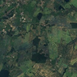
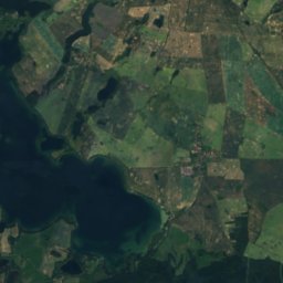
Satellite : Sentinel-2 cloudless 2016 par EOX IT Services GmbH · CC BY 4.0 · Contient des données Copernicus Sentinel modifiées (2016)
Paul-Wunderlich-Haus
Galerie d'art · 2007