
Foto: Isiwal · CC BY-SA 4.0 · Wikimedia Commons
WasserturmNotificar esta foto · enlazada, no almacenada
WasserturmNotificar esta foto · enlazada, no almacenada

Foto: C.Stadler/Bwag · CC BY-SA 4.0 · Wikimedia Commons
LedererturmNotificar esta foto · enlazada, no almacenada
LedererturmLedererturmNotificar esta foto · enlazada, no almacenada

Foto: de:Montag · CC BY 2.5 · Wikimedia Commons
Schloss PolheimNotificar esta foto · enlazada, no almacenada
Schloss PolheimSchloss PolheimNotificar esta foto · enlazada, no almacenada

Foto: C.Stadler/Bwag · CC BY-SA 4.0 · Wikimedia Commons
Stadtpfarrkirche Wels, Thalheim bei WelsNotificar esta foto · enlazada, no almacenada
Stadtpfarrkirche Wels, Thalheim bei WelsStadtpfarrkirche Wels, Thalheim bei WelsNotificar esta foto · enlazada, no almacenada

Foto: C.Stadler/Bwag · CC BY-SA 4.0 · Wikimedia Commons
Filialkirche in der VorstadtNotificar esta foto · enlazada, no almacenada
Filialkirche in der VorstadtFilialkirche in der VorstadtNotificar esta foto · enlazada, no almacenada
Torre de aguaThalheim bei Wels, Alta Austria
Wasserturm
Bien de interés patrimonial de Austria
TipoTorre de agua
Construcción–
Mejores mesesmay.–jun. · sept.el tiempo en Thalheim bei Wels
48,16° N, 14,02° EUTC+1 · hora estándar de Europa central
Cuándo irThalheim bei Wels · nota del tiempo
Mejor épocamay.–jun. · sept.
octubre: máx. / mín.14° / 6°
iSobre el monumento
Wasserturm en resumen
Wasserturm – Torre de agua (Thalheim bei Wels, Alta Austria, Austria).
Protección: Bien de interés patrimonial de Austria.
Para visitarlo, el tiempo es más agradable en Thalheim bei Wels en mayo, junio y septiembre; en octubre, por la tarde se alcanzan de media 14°.
Ficha
- Tipo
- Torre de agua
- Protección
- Bien de interés patrimonial de Austria
- Localidad más cercana
- Thalheim bei Wels
- Región
- Alta Austria
- Coordenadas
- 48,15564° N, 14,02408° E
iiUbicación
Dónde encontrarlo
iiiCuándo visitarlo
Guía del climaEl tiempo en Thalheim bei Wels
Puntuación mensual para hacer turismo
Mejor época: may.–jun. · sept.20
ene.
28
feb.
25
mar.
62
abr.
64
may.
64
jun.
62
jul.
63
ago.
70
sept.
50
oct.
26
nov.
21
dic.
ivCerca
Todos los monumentos de AustriaMás patrimonio muy cerca
Foto: C.Stadler/Bwag · CC BY-SA 4.0 · Wikimedia CommonsNotificar esta foto · enlazada, no almacenada
Ledererturm
menos de 100 m NO
Bien de interés patrimonial de Austria
Foto: C.Stadler/Bwag · CC BY-SA 4.0 · Wikimedia CommonsNotificar esta foto · enlazada, no almacenada
Stadtpfarrkirche Wels, Thalheim bei Wels
0,3 km NE
Bien de interés patrimonial de Austria
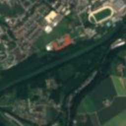
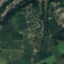
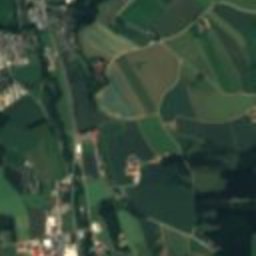
Satélite: Sentinel-2 cloudless 2016 de EOX IT Services GmbH · CC BY 4.0 · Contiene datos modificados de Copernicus Sentinel (2016)
Burg Wels
0,3 km E
Bien de interés patrimonial de Austria
Foto: C.Stadler/Bwag · CC BY-SA 4.0 · Wikimedia CommonsNotificar esta foto · enlazada, no almacenada
Filialkirche in der Vorstadt
0,5 km NE
Bien de interés patrimonial de Austria

Foto: Andreas E. Neuhold · CC BY-SA 3.0 · Wikimedia CommonsNotificar esta foto · enlazada, no almacenada
Alter Schlachthof
0,6 km NO
Bien de interés patrimonial de Austria
Alrededores
Thalheim bei Wels y alrededores

Thalheim bei Wels
Alta Austria · Austria
may.–jun. · sept.mejores meses
26°máx. en julio
339 maltitud
Naturaleza


Foto: Justus Mandelbaum · CC BY-SA 4.0 · Wikimedia CommonsNotificar esta foto · enlazada, no almacenada
Irnhartingerbach
Río

Montañas


Foto: Piotr Zarobkiewicz · CC BY-SA 3.0 · Wikimedia CommonsNotificar esta foto · enlazada, no almacenada
Traunstein
1691 m
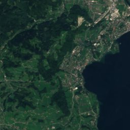
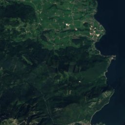
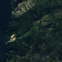
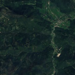
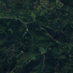
Satélite: Sentinel-2 cloudless 2016 de EOX IT Services GmbH · CC BY 4.0 · Contiene datos modificados de Copernicus Sentinel (2016)
Schwalbenmauer
1657 m
Patrimonio

Foto: C.Stadler/Bwag · CC BY-SA 3.0 · Wikimedia CommonsNotificar esta foto · enlazada, no almacenada
Pfarrkirche Thalheim bei Wels
Bien de interés patrimonial de Austria · 1070

Foto: C.Stadler/Bwag (talk / email) · CC BY-SA 4.0 · Wikimedia CommonsNotificar esta foto · enlazada, no almacenada
Pfarrkirche Wels-Pernau
Bien de interés patrimonial de Austria · 1967

Museos


Foto: Bernhard Holub · CC BY-SA 4.0 · Wikimedia CommonsNotificar esta foto · enlazada, no almacenada
Museum Angerlehner
2013


Satélite: Sentinel-2 cloudless 2016 de EOX IT Services GmbH · CC BY 4.0 · Contiene datos modificados de Copernicus Sentinel (2016)