
Foto: VinylVictim · CC BY-SA 3.0 · Wikimedia Commons
BilltalstadionNotificar esta foto · enlazada, no almacenada
BilltalstadionNotificar esta foto · enlazada, no almacenada

Foto: Carol.Christiansen · Public domain · Wikimedia Commons
Schule Ernst-Henning-StraßeNotificar esta foto · enlazada, no almacenada
Schule Ernst-Henning-StraßeSchule Ernst-Henning-StraßeNotificar esta foto · enlazada, no almacenada

Foto: Bild: © Ajepbah / Wikimedia Commons · CC BY-SA 3.0 de · Wikimedia Commons
St. Petri und Pauli, Wentorf bei HamburgNotificar esta foto · enlazada, no almacenada
St. Petri und Pauli, Wentorf bei HamburgSt. Petri und Pauli, Wentorf bei HamburgNotificar esta foto · enlazada, no almacenada

Foto: Dirtsc · CC BY-SA 3.0 · Wikimedia Commons
St. Michael (Bergedorf)Notificar esta foto · enlazada, no almacenada
St. Michael (Bergedorf)St. Michael (Bergedorf)Notificar esta foto · enlazada, no almacenada

Foto: Pincerno at de.wikipedia · CC BY-SA 3.0 · Wikimedia Commons
RosenhofNotificar esta foto · enlazada, no almacenada
RosenhofRosenhofNotificar esta foto · enlazada, no almacenada
Estadio de fútbolWentorf bei Hamburg, Schleswig-Holstein
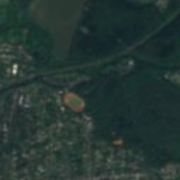
Billtalstadion
Construcción: 1950
TipoEstadio de fútbol
Construcción1950
Mejores mesesmay.–jun. · sept.el tiempo en Wentorf bei Hamburg
53,49° N, 10,23° EUTC+2 · hora de verano de Europa central
En pie desde hace76 años
construido 1950hoy 2026
Cuándo irWentorf bei Hamburg · nota del tiempo
Mejor épocamay.–jun. · sept.
octubre: máx. / mín.14° / 6°
iSobre el monumento
Billtalstadion en resumen
Billtalstadion – Estadio de fútbol (Wentorf bei Hamburg, Schleswig-Holstein, Alemania).
Fecha: 1950.
Para visitarlo, el tiempo es más agradable en Wentorf bei Hamburg en mayo, junio y septiembre; en octubre, por la tarde se alcanzan de media 14°.
Ficha
- Tipo
- Estadio de fútbol
- Construcción
- 1950
- Localidad más cercana
- Wentorf bei Hamburg
- Región
- Schleswig-Holstein
- Coordenadas
- 53,49361° N, 10,22611° E
iiUbicación
Dónde encontrarlo
iiiCuándo visitarlo
Guía del climaEl tiempo en Wentorf bei Hamburg
Puntuación mensual para hacer turismo
Mejor época: may.–jun. · sept.13
ene.
20
feb.
25
mar.
51
abr.
71
may.
65
jun.
64
jul.
65
ago.
68
sept.
41
oct.
17
nov.
13
dic.
ivCerca
Todos los monumentos de AlemaniaMás patrimonio muy cerca
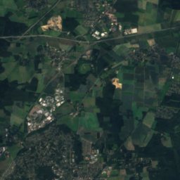
Satélite: Sentinel-2 cloudless 2016 de EOX IT Services GmbH · CC BY 4.0 · Contiene datos modificados de Copernicus Sentinel (2016)
Schloss Bergedorf
1,0 km SO
Foto: Carol.Christiansen · Public domain · Wikimedia CommonsNotificar esta foto · enlazada, no almacenada
Schule Ernst-Henning-Straße
1,0 km S
Foto: Bild: © Ajepbah / Wikimedia Commons · CC BY-SA 3.0 de · Wikimedia CommonsNotificar esta foto · enlazada, no almacenada
St. Petri und Pauli, Wentorf bei Hamburg
1,1 km SO
Foto: Pincerno at de.wikipedia · CC BY-SA 3.0 · Wikimedia CommonsNotificar esta foto · enlazada, no almacenada
Rosenhof
1,3 km S

Alrededores
Wentorf bei Hamburg y alrededores

Wentorf bei Hamburg
Schleswig-Holstein · Alemania
may.–jun. · sept.mejores meses
24°máx. en julio
46 maltitud
Naturaleza


Montañas
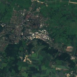
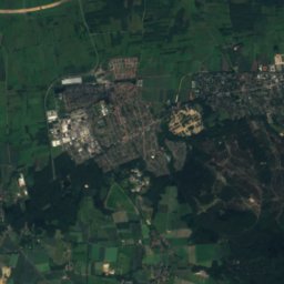
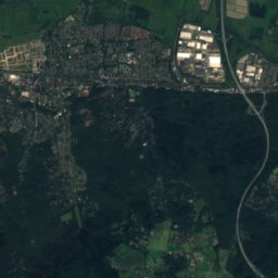
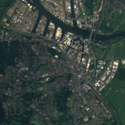
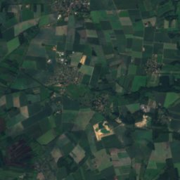
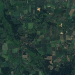
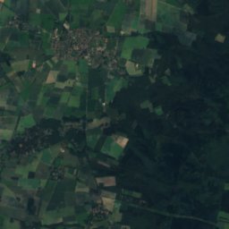
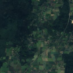
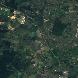
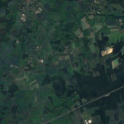
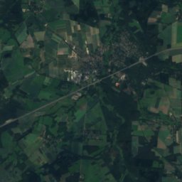
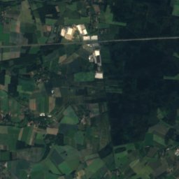
Satélite: Sentinel-2 cloudless 2016 de EOX IT Services GmbH · CC BY 4.0 · Contiene datos modificados de Copernicus Sentinel (2016)
Hülsenberg
155 m
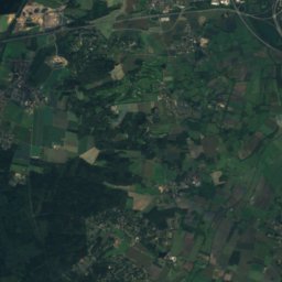
Satélite: Sentinel-2 cloudless 2016 de EOX IT Services GmbH · CC BY 4.0 · Contiene datos modificados de Copernicus Sentinel (2016)
Gannaberg
155 m

Foto: Foto: Reinhard Kraasch, Lizenz: CC-BY-SA 4.0 DE · CC BY-SA 4.0 · Wikimedia CommonsNotificar esta foto · enlazada, no almacenada
Kiekeberg
127 m
Patrimonio

Foto: Unknown author · CC BY-SA 3.0 · Wikimedia CommonsNotificar esta foto · enlazada, no almacenada
Observatorio de Hamburgo
1802

Foto: Foto: Reinhard Kraasch, Lizenz: CC-BY-SA 4.0 DE · CC BY-SA 4.0 · Wikimedia CommonsNotificar esta foto · enlazada, no almacenada
Sachsenwaldschule
1924
Museos


Satélite: Sentinel-2 cloudless 2016 de EOX IT Services GmbH · CC BY 4.0 · Contiene datos modificados de Copernicus Sentinel (2016)
Arboreto Lohbrügge

Foto: IqRS at de.wikipedia · CC BY-SA 2.0 de · Wikimedia CommonsNotificar esta foto · enlazada, no almacenada

Museum Rade am Schloss Reinbek


Museum für Bergedorf und die Vierlande
Museo de historia local · 1955